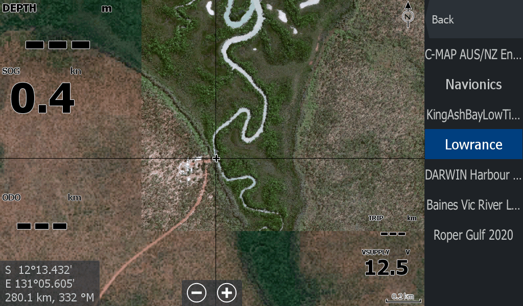
The satellite maps you need when fishing the remote rivers & waterways in the Top of Australia.
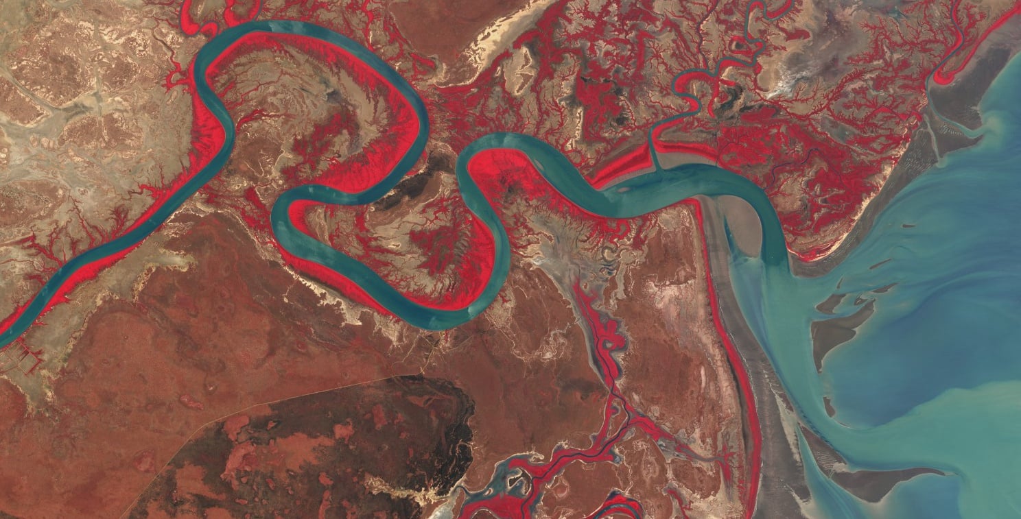
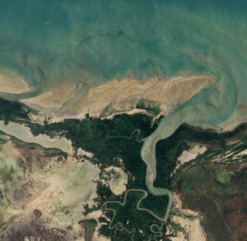
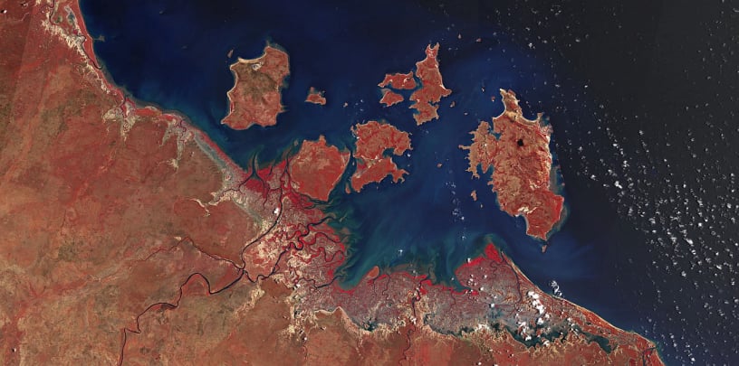
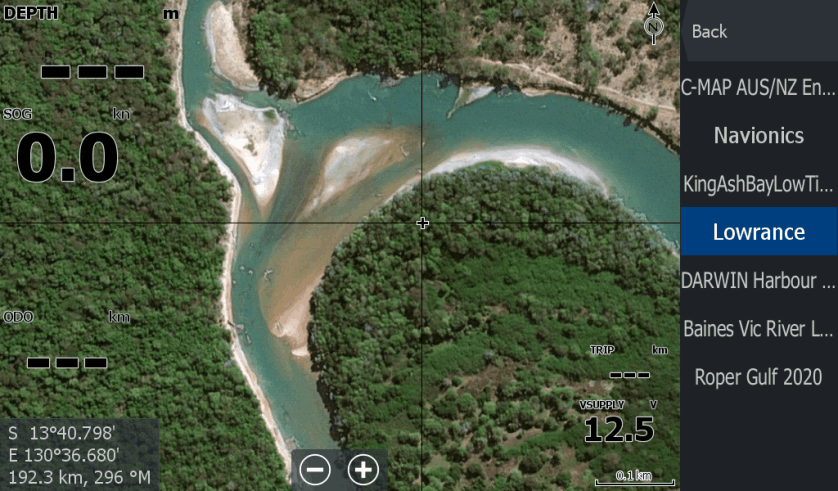
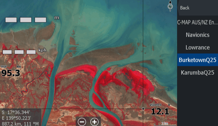
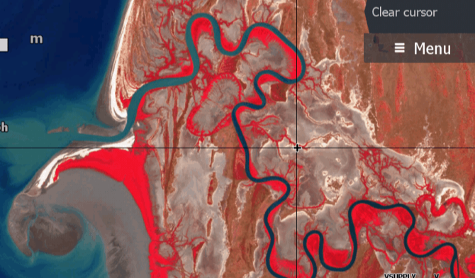
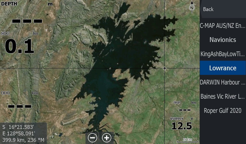
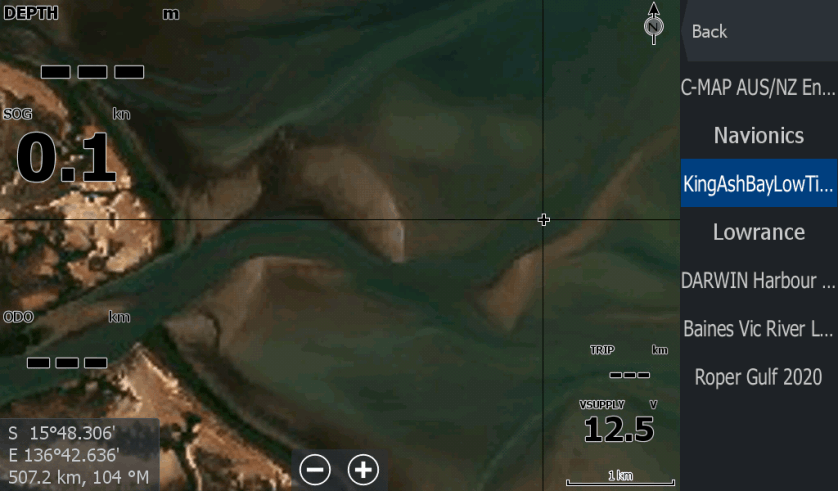
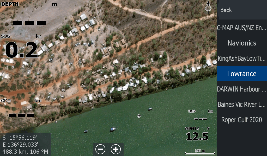
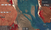
When your Lowrance chart plotter only gives you basic information in remote waterways,
you need an extra edge to stay out of trouble with a satellite overlay.
Developed by me after being marooned for 5 hours, 8kms from the Roper Mouth as the sun set.
Please Follow on facebook to keep up to date with new maps & tips
These maps will cover your River system out to the mouth and nearby creeks.
For the cost of a fishing lure, get a map in to your sounder right now.
The "shop now" link opens in the payhip.com/topendmaps storefront site where you can view all maps for purchase
Designed to let you see what lies beneath the muddy waters so you can lay the tracks to get you home.
These game changing maps are unique to TopEndMaps.com
The "shop now" link opens in the payhip.com/topendmaps storefront site where you can view all maps for purchase
As mentioned, I know that feeling when you get stuck on a mudflat 25km from camp.
The sun sets and the chart plotter has high tide tracks that cross all over sandbars. I don't want to go through that again & neither should you.
There had to be a better way to enhance the Chart Plotter on the boat to better work for the fishers of the Top Ends Remote waterways.
There is, and here are the products for you.
There is now a store to purchase specific area maps from, at affordable prices to cover my shop fees , hosting & hopefully fuel my boat.
Free AI Website Software